Redistricting is one of the few government actions that can change your political reality without changing a single voter’s mind. One set of lines can turn a competitive state into a safe one, protect incumbents for a decade, and quietly decide which communities get listened to and which ones get managed.
That is the pitch for independent redistricting commissions : take map drawing out of the direct hands of legislators who benefit from the outcome and give it to a body designed to be less partisan, more transparent, and more rule-bound.
But “independent” does not mean “unaccountable,” and “commission” does not mean “apolitical.” These bodies are built from state law, constrained by the U.S. Constitution and the Voting Rights Act, and constantly aware that their maps might end up in court.
Join the Discussion
What a commission is
An independent redistricting commission is a state-created body that draws new electoral district boundaries after the census, usually for:
- Congressional districts (U.S. House seats)
- State legislative districts (state house and state senate)
The key difference from the traditional model is who has primary control. In many states, the legislature drafts and passes maps like any other bill, and the governor may sign or veto. Under a commission model, the commission either:
- Adopts final maps itself, with little or no legislative role, or
- Proposes maps that the legislature can approve, reject, or amend within limits.
Commissions come in a few flavors. Some are designed to be genuinely insulated from elected officials. Others are bipartisan by design but still tied closely to political leadership. The label “independent” is not determinative, because state law can build in partisan levers even when the name sounds neutral.
Where authority comes from
Redistricting commissions exist because states choose to create them, usually through:
- State constitutional amendments (often via ballot initiative)
- State statutes passed by the legislature
- Hybrid systems where a constitution creates a commission and statutes fill in procedures
At the federal level, the Constitution sets the outer boundaries but leaves mapmaking largely to the states. Article I, Section 4 (the Elections Clause) gives state legislatures the initial power to regulate congressional elections, while allowing Congress to override or set nationwide rules. For state legislative districts, state constitutions do most of the work.
That is why the commission debate often sounds like a values debate but is really a power-allocation debate. States are deciding who gets the pen.
How members are picked
The selection process is the commission’s real constitution. If you want to predict whether a commission will act independently, look less at the mission statement and more at how members get seats.
Common selection models
- Application and screening: Interested citizens apply; a nonpartisan office or panel screens for qualifications and conflicts.
- Random selection from a vetted pool: Some systems use a lottery-style selection to reduce insider control.
- Appointments by elected officials: Legislative leaders or the governor appoint commissioners, sometimes balanced by party.
- Mixed systems: A screened pool plus appointments plus random draws, often with rules about party balance and geographic diversity.
Typical eligibility rules
Most commissions try to limit obvious conflicts of interest. Common disqualifications include:
- Current elected officials
- Recent candidates for office
- Party officers or paid campaign staff
- Lobbyists or major political donors (sometimes with dollar thresholds)
- Close family members of politicians (in some systems)
The point is not to produce politically ignorant commissioners. It is to reduce direct incentives to draw maps that protect a career, a party leadership ladder, or a donor network.

Rules they must follow
A commission is not freehand sketching. It is closer to drafting under a checklist, and the checklist has layers.
1) Federal constitutional rules
- Equal population (Congress): Congressional districts must be equal in population as nearly as practicable under Supreme Court doctrine. In practice, that means deviations should be minimal and defensible, with only narrow tolerance for technical constraints.
- Equal population (state legislatures): State legislative districts must be substantially equal under the Fourteenth Amendment’s Equal Protection Clause. Modest deviations are sometimes permitted when justified by legitimate state policies, but commissions still need a record that explains any departure from equality.
- One person, one vote : The core principle behind population equality in districting.
2) Federal statutory rules
- Voting Rights Act (especially Section 2): Districts cannot be drawn in a way that unlawfully dilutes the voting power of racial or language minorities. Whether a map must include a minority opportunity district depends on facts and legal tests courts apply, including the Gingles preconditions and the totality of circumstances. In other words, “opportunity districts” are not automatic everywhere, but they can be required where the evidence supports them.
3) State criteria
States often add their own priorities. Common ones include:
- Contiguity: All parts of a district must connect.
- Compactness: Districts should not sprawl or snake unnecessarily, though “compact” has multiple mathematical definitions.
- Respect for political boundaries: Try not to split counties, cities, or precincts unless needed.
- Communities of interest: Keep together areas that share social, cultural, ethnic, economic, or geographic interests.
- Partisan fairness: Some states explicitly bar favoring a party. Others require metrics or justification against partisan bias.
- Competitiveness: A minority of systems treat competitive districts as an affirmative goal, as long as it does not conflict with higher-priority rules like the Voting Rights Act.
- Incumbent neutrality: Some states restrict using incumbent addresses, past election results, or partisan registration as a mapmaking input, at least during initial drafting.
Commissions often must rank criteria. That ranking matters when tradeoffs are unavoidable. Compactness can conflict with keeping a community of interest intact. Avoiding city splits can conflict with equal population. Compliance is often about showing why a compromise was necessary under the governing hierarchy.
How the process works
While the mechanics vary across states, the commission workflow tends to look like this:
Step 1: Data arrives
The census provides the baseline population data. States may also rely on geographic boundary files and, where allowed, political data like past election results.
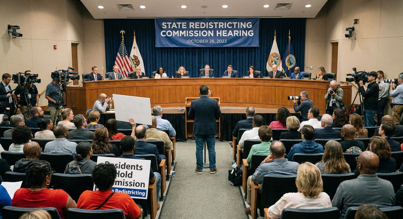
Step 2: Public input
Commissions typically hold hearings across the state. Public input can include:
- Testimony about communities of interest
- Requests to keep neighborhoods together
- Submissions of citizen-drawn maps
- Concerns about racial vote dilution or partisan bias
This is one of the biggest practical differences from legislature-led redistricting: commissions often build procedural transparency into the structure through public meetings, published draft maps, and accessible data portals. The strength of those requirements varies by state and by design.
Step 3: Draft maps
Staff, consultants, or commissioners themselves draw preliminary plans. Many commissions must publish drafts and open a comment period before any final vote.
Step 4: Revisions and adoption
After feedback, commissions revise maps and vote. Some systems require a supermajority or a cross-party threshold, such as requiring at least one vote from commissioners affiliated with each major party, plus independents.
Step 5: Implementation
Once adopted, maps are used for the next election cycle until the next census, unless a court orders changes.
Legislatures and commissions
The legislative role depends on the state’s design. Broadly, there are three common relationships.
1) Commission replaces the legislature
In some states, the commission draws and adopts maps, and the legislature does not vote on them as ordinary legislation. This model is meant to remove direct self-interest from the approval step.
2) Commission proposes, legislature reacts
Some commissions submit plans that the legislature can approve or reject. Often, the legislature’s ability to amend is limited, or rejection triggers a fallback process.
3) Commission as a backstop
In a few systems, the legislature gets first crack. If lawmakers fail to pass a plan by a deadline, a commission (or a court) takes over. This is not the same as an independent commission model, but it is part of the broader ecosystem that limits deadlock or excess.
Even in the strongest commission systems, legislatures can still influence the process indirectly through funding, procedural statutes, and sometimes through appointments. Independence is a design goal, not a magical shield.
Courts and commissions
Redistricting is where politics and justiciability collide. Courts do not draw maps because they want to. They draw maps because someone has to when a map is illegal or the political branches cannot finish the job.
Why maps end up in court
- Equal population challenges
- Voting Rights Act claims (especially racial vote dilution)
- State constitutional claims, such as bans on partisan gerrymandering in states that have adopted them
- Procedural challenges, such as alleged violations of open meeting rules or required public input steps
What courts can do
- Uphold the commission’s map
- Strike down a map and order the commission to redraw
- Impose a remedial map if timing or noncompliance makes a commission redo impractical
- Appoint a special master to propose maps for the court to adopt
One important modern reality: the U.S. Supreme Court has held that partisan gerrymandering claims are nonjusticiable in federal court (Rucho v. Common Cause, 2019). That does not mean partisan gerrymandering is legal everywhere. It means the remedy often shifts to state courts, state constitutions, and commission structures that can enforce anti-gerrymandering rules internally.
How they decide lines
Because commissions are constrained by criteria, their decision-making tends to be more legible than “we drew it to win.” But it is still full of judgment calls.
Communities of interest
This phrase sounds warm and civic-minded, and it can be. It is also flexible enough to be contested. A community of interest might be:
- A shared school district and feeder pattern
- A region with a unified economy, like a port city and its logistics corridor
- A rural area with shared water rights and agricultural infrastructure
- A neighborhood with shared language access needs
Commissions often invite testimony precisely because communities are not always visible in census blocks.
Compactness and contiguity
These are geometry-adjacent constraints that try to prevent bizarre shapes, but they rarely answer the hardest question: what is the right shape for representation when a state’s people are not evenly distributed?
Partisan fairness metrics
Where allowed, commissions may examine partisan outcomes using tools like partisan symmetry measures or simulated maps to see whether a plan is an outlier. These tools do not eliminate politics. They make the tradeoffs measurable, and that measurability becomes part of the record if litigation follows.
Types of commissions
News coverage often uses “commission” as if it is a single model. It is not. Here is a useful way to separate them, with one caveat: state labels vary, and a commission called “independent” can still be structured in a way that invites partisan control.
Independent commissions
- Designed to minimize direct control by elected officials
- Often include unaffiliated or independent members
- May use screened pools and random selection
- Often prohibit recent politicians and party insiders from serving
Bipartisan or appointed commissions
- Members are appointed by party leaders or elected officials
- Balance is achieved by equal party representation, not by insulation
- Can still deadlock, especially if rules require cross-party agreement
Advisory commissions
- Make recommendations, but the legislature draws and passes the final maps
- Can increase transparency and public input without shifting ultimate power
The biggest practical question for readers is simple: Who has final say? If the commission can be overridden at will, it is not the same institutional check.
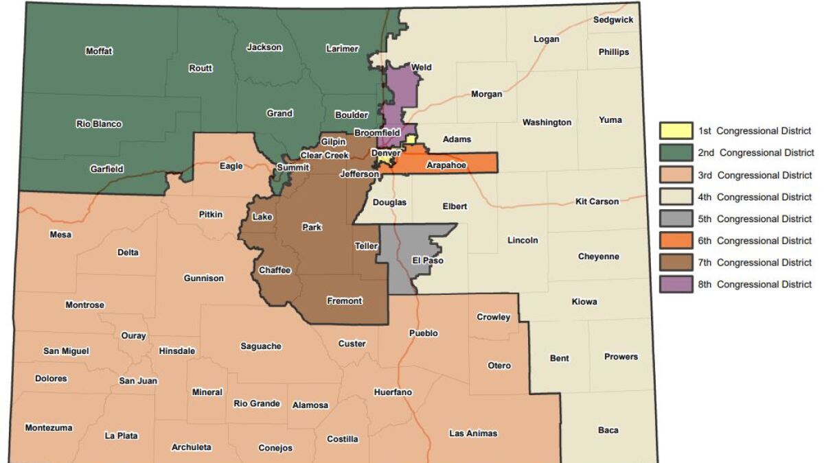
Where commissions are used
Commission systems are not uniform, and they are not universal. Some states use commissions for both congressional and state legislative maps. Others use them only for state legislative districts, or only as a backup if lawmakers miss a deadline.
To make this concrete, here are a few widely cited examples of different designs:
- Arizona and California: Often discussed as stronger citizen-led commission models, with extensive public hearing processes.
- Michigan: Uses a citizen commission selected through an application, vetting, and random draw structure.
- Washington: Uses a bipartisan commission model with appointments, illustrating that “commission” does not always mean insulated.
The takeaway is not that one state is perfect. It is that the architecture matters: who chooses members, what rules apply, and who can block or rewrite the result.
Do they stop gerrymandering?
Commissions can reduce the most blatant forms of self-dealing, particularly when:
- Commissioners are insulated from legislative control
- Criteria are ranked and enforceable
- Data and draft maps are public
- Courts can review maps under state constitutional standards
But commissions do not eliminate incentives. They relocate them. Interest groups still lobby. Parties still litigate. Communities still compete over boundaries. And some choices are inherently political because representation is inherently political.
What commissions can do, at their best, is make the process more transparent, more constrained, and more defensible than last-minute mapmaking in a legislature.
The stakes in plain English
Redistricting commissions sit at the intersection of two American instincts that never fully reconcile: we want politics to be accountable to voters, and we also want some decisions to be insulated from raw political advantage.
Commissions are one attempt at that compromise. They do not take redistricting “out of politics.” They take it out of the easiest kind of politics, the kind where the people drawing the lines are the same people whose careers depend on the lines.
If you want to understand your state’s commission, do not start with the press release. Start with four questions:
- Who picks the members?
- What criteria are they legally required to follow?
- Who can veto or override the final maps?
- What court, applying what standards, can review the result?
Those answers tell you whether “independent” is a real structural constraint or just a nicer word for a different set of hands holding the same pen.